


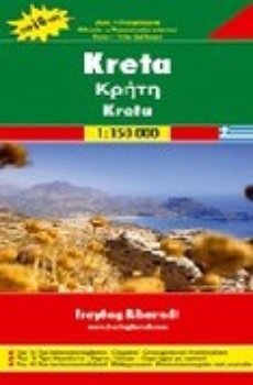
Kréta 1:150 000 automapa (2010)
Vydavateľstvo: Freytag & Berndt
| Bežná cena knihy: | 8,99 € |
|---|---|
| Naša cena: | 8,54 € |
| (zľava 5 %) |
Vypredané
Informácie o knihe
Explore Crete with this Freytag & Berndt double-sided road map. The best way to plan your trip, prepare your itinerary, and to travel independently on this Greek island. As with all Freytag & Berndt maps the cartography is clear and detailed with the topography shown by relief shading with plenty of spot heights.
The map includes inset maps of downtown Iraklio and Agio Nikolaos as well as small maps of the archaeological sites at Knossos, Malia, Zakros, Festos and Agio Triada. The legend is in 10 languages (English, Greek, and German included).
Tourist information and places of interest are clearly marked by a range of icons, including:
picturesque towns, places of particular interest churches, monasteries, castles and ruins archaeological sites and caves mountain cabins, camping sites and youth hostels golf courses airports, marinas and museums
Distances between points are shown as well as indications of steep gradients, all distances are in kilometres. The map also includes a Top10 list of most interesting sights on the island.
Zaradené v
Podrobnosti
- Formát: 130 × 260 mm
- Väzba: skladaná mapa
- ISBN: 978-3-07-90762-9
- Rok vydania: 2010
- Jazyk: anglický, český, nemecký
- EAN: 9783707907629